Tennessee Scenic Byways

Tennessee Scenic Byways

Scenic Byways Interactive Map

Use the map below to explore the byways. Hover to highlight a route and click for more information.

About Our Scenic Byways

Tennessee is beautiful and diverse, inspiring the pride of its residents and attracting visitors from near and far to explore. When visiting Tennessee, most tourists travel its roadways. These highways and byways connect the natural environment with the man-made environment, and they connect us to our historic, natural, and cultural roots. Tennessee's scenic routes are often “the road less travelled,” and visited by those in search of the open road with a beautiful view. Tennessee's scenic routes offer the opportunity to see historic sites, observe nature's wonders, behold spectacular scenery, enjoy a variety of recreational amenities, and so much more.

There are three categories of Scenic Byway designation: State, National, and All-American. These designations are given by government agencies, based on the road's intrinsic qualities. The six recognized intrinsic qualities are: Historic, Recreational, Cultural, Archealogical, Scenic, and Natural. If the byway stands out regionally or nationally in it's embodiment of any of these intrinsic qualities, it is eligible for designation. Many of Tennessee's byways evoke multiple intrinsic qualities. Tennessee's roadway system offers something for everyone; whether you are an outdoor adventurer, a history buff or are hoping to take in Tennessee's beautiful vistas from the comfort of your vehicle, you will find your happy place along Tennessee's Scenic Byways.

Learn More About the Byways

Poster for Great River Road with text: Follow the Lower Mississippi River

Great River Road

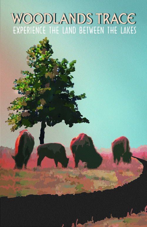
Poster for Woodlands Trace with text: Experience the Land Between the Lakes

Woodlands Trace

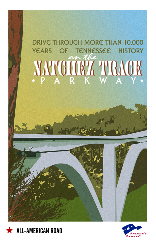
Poster for Natchez Trace with text: Drive through more than 10,000 years of Tennessee history

Natchez Trace

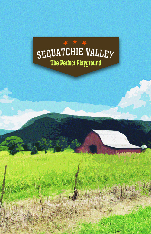
Poster for Sequatchie Valley with text: The perfect playground

Sequatchie Valley

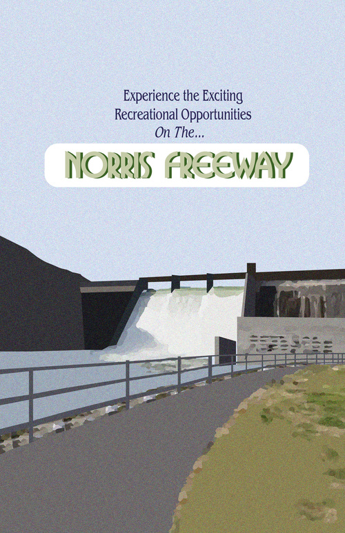
Poster for Norris Freeway with text: Experience the exciting recreational opportunities

Norris Freeway

Poster for Cumberland National with text: A hidden frontier

Cumberland National

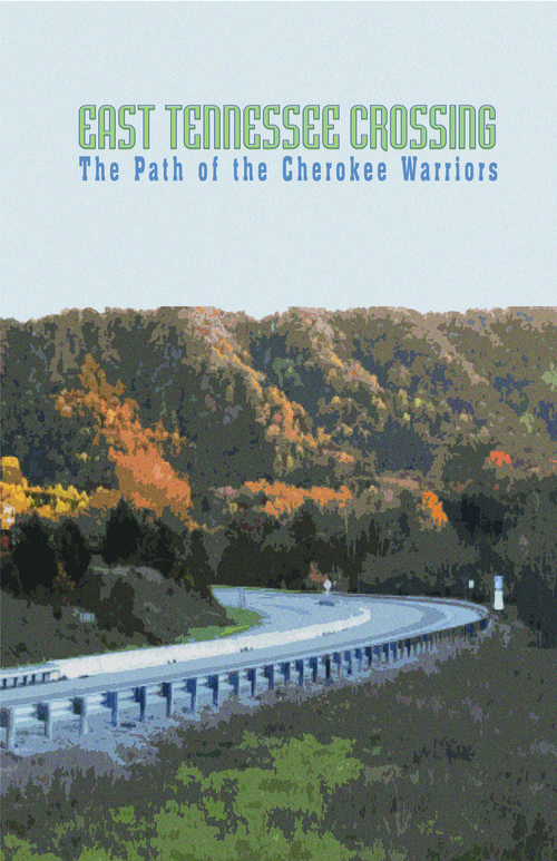
Poster for East Tennessee Crossing with text: The path of the Cherokee warriors

East TN Crossing

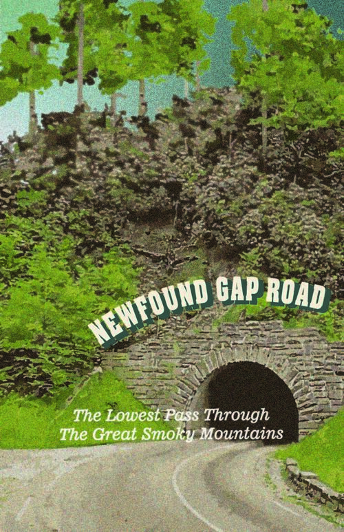
Poster for Newfound Gap with text: The lowest pass through the Great Smoky Mountains

Newfound Gap

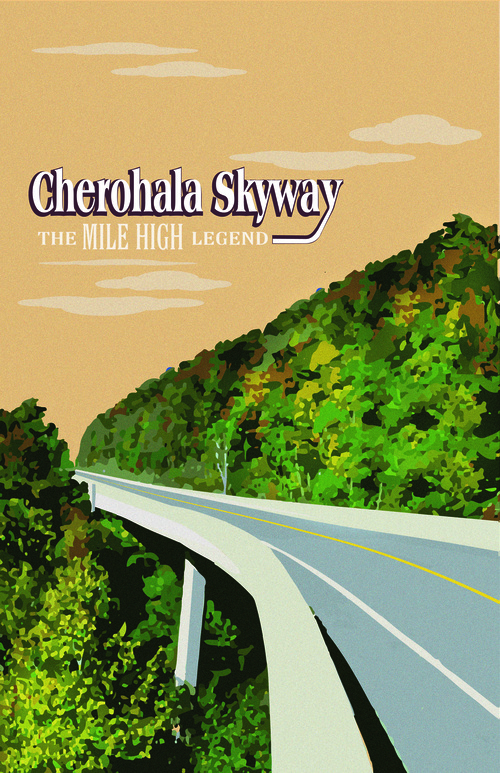
Poster for Cherohala Skyway with text: The lowest pass through the Great Smoky Mountains

Cherohala Skyway

Poster for Ocoee River with text: Beautiful in every season

Ocoee River

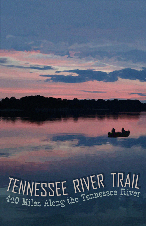
Poster for Tennessee River Trail with text: 440 miles along the Tennessee River

Tennessee River Trail

Poster for Great Smoky Mountains with text: The grand circle of the Smokies

Great Smoky Mountains

Poster for Walton Road with text: A pioneer passage

Walton Road

Great River Road

Great River Road Logo

Memphis Area; 240 miles; Starts: Memphis

Tennessee's Great River Road is the state's westernmost scenic route and 1 of its 3 All-American Roads. Nationally, the route runs along both sides of the Mississippi River across 10 states, from the headwaters in Minnesota to the lower delta in Louisiana.

The Tennessee portion of the Great River Road is teeming with culture and history. Visitors can discover 25,000 pristine acres of flooded forest at Reelfoot Lake State Park, experience the home of “Roots” author Alex Haley, feel the spirit of blues legends like B.B. King on Beale Street in Memphis, and take a stroll through Elvis Presley's Graceland®. Travel Tennessee's Great River Road for unmatched scenery and experiences in the Lower Mississippi Valley.

Links

Woodlands Trace

Woodlands Trace Logo

Nashville Area; 13.5 miles; Starts: Dover

Spanning forested ridgetops between the Tennessee and Cumberland Rivers, the Woodlands Trace National Scenic Byway travels the length of Land Between the Lakes National Recreation Area in Kentucky and Tennessee. The route offers visitors many chances to hike, camp, and learn about the area’s rich culture and history. While travelling the Woodlands Trace, get up close and personal with majestic wildlife at the South Bison Range, experience the Homeplace 1850’s Working Farm, and see the ruins of an original nineteenth century iron furnace.

Links

Natchez Trace

Natchez Trace

Nashville Area; 102 miles; Start Pasquo

The Natchez Trace, one of Tennessee’s 3 All-American Roads, stretches 444 miles from Nashville to Natchez, Mississippi. The route follows the original travel corridor used by Native Americans, boatmen dubbed the “Kaintucks”, European settlers, merchants, soldiers, and future presidents. Now maintained by the National Park Service, the Natchez Trace draws bicyclists, motorcyclists, horseback riders, campers, hikers, and Sunday drivers of all ages, eager to drive through the 10,000 years of history interpreted along the route.

Links

Sequatchie Valley

Sequatchie Valley Logo

Chattanooga Area; 65 miles: Starts: Jasper

The Sequatchie Valley National Scenic Byway is the perfect playground for outdoor recreation enthusiasts. Rock climbing, bicycling, kayaking, and fishing are just some of the activities common to the Sequatchie Valley. The byway route follows the heart of the Sequatchie Valley, and connects several communities in Tennessee’s smallest and most distinctive physiographic region. Formed over millions of years, the Sequatchie Valley is bordered to the west by Walden’s Ridge and to the east by the escarpment of the Cumberland Plateau. Panoramic views are found throughout this unique part of Tennessee.

Links

Norris Freeway

Norris Freeway Logo

Knoxville Area; 21 miles; Starts: Rocky Top

The Norris Freeway National Scenic Byway was originally built in 1934 as a supply route for the Norris Dam, Tennessee Valley Authority’s first hydroelectric project. The route was Tennessee’s first limited access freeway and structures along the route were built using a cohesive Art Moderne design. The route itself is a winding, wooded road through lush countryside and waterways, which boast some of the best trout fishing in the state. Today, the area is home to the Town of Norris and Norris Dam State Park, as well as prominent hiking and horseback riding trails.

Links

Cumberland National

Cumberland National Logo

Knoxville Area; 156 miles; Starts: Cumberland Gap

The Cumberland National Scenic Byway crosses 8 counties in Tennessee’s Upper Cumberland and echoes with the footsteps of such Tennessee luminaries as Sgt. Alvin C. York and Cordell Hull. The byway connects the Cumberland Gap in the east to the Cumberland River in the west. Through several sites, such as the Rugby Victorian village and Obey-Cumberland River convergence, it also tells the story of the region’s historical significance. Dale Hollow Lake and the Big South Fork National River and Recreation Area also provide visitors with premier opportunities for outdoor recreation.

Links

East Tennessee Crossing

East Tennessee Crossing Logo

Knoxville Area; 83 miles; Starts: Cumberland Gap

The East Tennessee Crossing National Scenic Byway connects the travelling public to Appalachian history and culture. The byway is part of the Wilderness Road Heritage Highway, the route Cherokee Warriors originally used to cross the mountains and which pioneers used to move west. Quaint mountain communities and scenic mountain views are found throughout the route, which connects the Cumberland Gap National Historic Park, Great Smoky Mountains National Park and the Cherokee National Forest.

Links

Newfound Gap

Newfound Gap Logo

Knoxville Area; 31 miles; Starts: Gatlinburg

The Newfound Gap National Scenic Byway connects the travelling public to Appalachian history and culture. The byway is part of the Wilderness Road Heritage Highway, the route Cherokee Warriors originally used to cross the mountains and which pioneers used to move west. Quaint mountain communities and scenic mountain views are found throughout the route, which connects the Cumberland Gap National Historic Park, Great Smoky Mountains National Park and the Cherokee National Forest.

Links

Cherohala Skyway

Cherohala Skyway Logo

Chattanooga Area; 22.4 miles; Starts: Tellico Plains

Stretching across portions of North Carolina and Tennessee, the Cherohala Skyway National Scenic Byway crosses through the Cherokee and Nantahala National Forests. Dubbed “the Mile High Legend,” portions of the route go above the clouds and reach 5,400-foot elevations. The Skyway was an original overland route travelled by Native Americans and early pioneers. The byway features unmatched views of the Tellico River and surrounding landscape. The Cherohala Skyway Visitor Center in Tellico Plains, TN is a must-visit stop for route information, a gift shop featuring products from local artisans, and interpretative materials of the route and surrounding area.

Links

Ocoee River

Ocoee Logo

Chattanooga Area; 26 miles; Starts: Ducktown

The Ocoee Scenic Byway was both Tennessee’s and the nation’s first designated scenic byway, becoming a National Forest Scenic Byway in July 1988. The route meanders through Cherokee National Forest, around picturesque Parksville Lake, and through the Ocoee River Gorge. The area is famed for its outdoor recreation opportunities and was the site of kayak and rafting events for the 1996 Olympic games. Major attractions include the Ocoee Whitewater Center, and the Chilhowee Scenic Spur and Forest Road 77. Be sure to visit them and take in views of the pristine waters and majestic rock faces of this route.

Links

Tennessee River Trail

Tennessee River Trail Logo

Nashville Area; 440 miles; Starts: Dover

The Tennessee River Trail is the state’s longest scenic byway, at 440 miles, and meanders along winding 2-lane roads on both banks of the Tennessee River. The route offers roadside serene views of countryside and connects visitors to the waterway in multiple locations. Significant attractions along the route include Civil War battlefields at Ft. Donelson and Shiloh, stories of the TVA and industrialization at Johnsonville State Historic Site, and the conservation at several wildlife management areas. The Tennessee River Trail also connects to the Woodlands Trace and Natchez Trace National Scenic Byways.

Links

Great Smoky Mountains

Great Smoky Mountains Logo

Knoxville Area; 83 miles; Starts: Cumberland Gap

Great Smoky Mountains Byway follows U.S. Highway 321 on a 200-mile circle tour of the Smokies, providing visitors with an authentic drive in the heart of Appalachia. In addition to iconic scenic views and the nearly 2 million acres of open space at Great Smoky Mountains National Park, highlights along the route include authentic Appalachian communities, annual events such at the National Storytelling Festival and numerous attractions which demonstrate the core of the American Arts and Crafts movement.

Links

Walton Road

Walton Road Logo

Nashville Area; 118 miles; Starts: Cookeville

The Walton Road tells the story of the pioneer era and frontier settlement of Tennessee. Completed in 1801 as the Cumberland Turnpike and later named for its builder, Captain William Walton of Carthage, the route followed what is today U.S. Highway 70 through 4 counties of the Cumberland Plateau. While travelling the route today, visitors can experience Sam’s Place, an African American-owned bar listed on the National Register of Historic Places for its contributions to race relations in the Upper Cumberland. Day hikers can also easily access Ozone Falls, a beautiful waterfall featured in the Disney movie Rudyard Kipling's The Jungle Book. Travelers interested in heritage tourism will want to visit Fort Southwest Point in Kingston, the eastern terminus of the Walton Road. Situated on a bluff overlooking the confluence of the Clinch and Tennessee Rivers, Fort Southwest Point is the only federal era fort in Tennessee reconstructed on its original foundation.

Links

Contact Info

Michael McClanahan

Scenic Roadways Coordinator

[email protected]

(615) 741-0803